


Historic Maps
Preview
Date
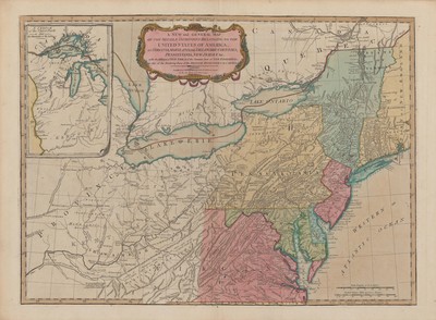
1794
Description
Color map showing New England, the Great Lakes, and part of the Southern United States during the Early Republic. Published by Laurie & Whittle of London, England on May 12th, 1794.
Physical Description
28.5 x 21 inches.
Source
Welch Collection (Private)