


Historic Maps
Preview
Date
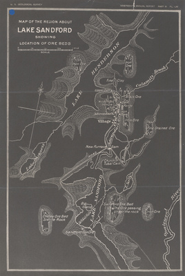
1898
Description
Map of the Region About Lake Sandford Showing Location of Ore Beds. White on black, scale 1in. = approx. .5 mi. Washington, DC: USGS. Print.
Physical Location
Map Case 0001 Drawer 0002 Folder 0004
Physical Description
9 x 13 inches.
Source
Union College Adirondack Research Library