


Historic Maps
Preview
Date
1979
Description
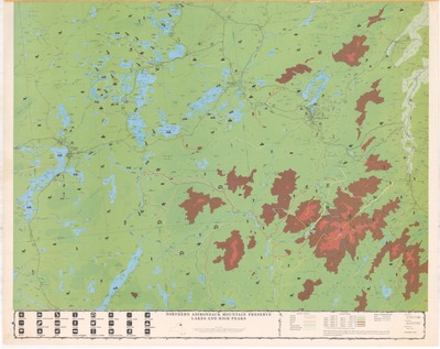
Beavers Mapping Service. Northern Adirondack Mountain Preserve Lakes and High Peaks. Visitor's map, scale 1:62,500. West Chazy, NY: Cartographic Associates, 1979. Print.
Physical Location
Map Case 0001 Drawer 0001 Folder 0001
Physical Description
43.5 x 35 inches.
Source
Union College Adirondack Research Library