


Historic Maps
Preview
Date
1999
Description
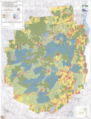
Adirondack Park Land Use and Development Plan and State Land Map. Land use map, 1in. = 3mi. Ray Brook: Adirondack Park Agency, 1999. Print.
Physical Location
Map Case 0001 Drawer 0004 Folder 0003
Physical Description
33.5 x 44 inches.
Source
Union College Adirondack Research Library