


Historic Maps
Preview
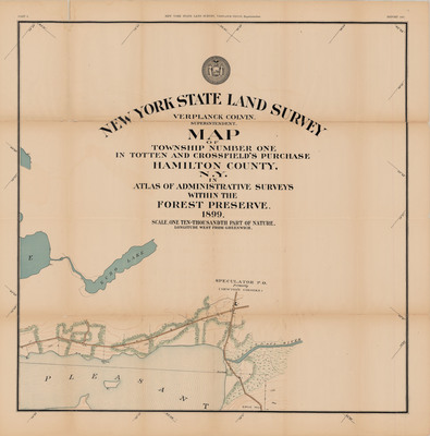
Date
1899
Description
New York State Land Survey Report 1897 Part 2. Topographical map, scale 1: 10,000, sheet 2 of 5. NY: New York State Land Survey, 1899. Print.
Physical Location
Map Case 0002 Drawer 0011 Folder 0006
Physical Description
28 x 28 inches.
Source
Union College Adirondack Research Library