


Historic Maps
Preview
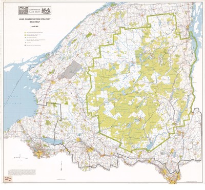
Date
1987
Description
Land Conservation Strategy Base Map. Land use map, scale 1" = 3.95 mi. Keene, NY: Adirondack Land Trust, 1987. Print.
Physical Location
Map Case 0001 Drawer 0004 Folder 0006
Physical Description
47 x 43 inches.
Source
Union College Adirondack Research Library