


Historic Maps
Title
Preview
Date
1965
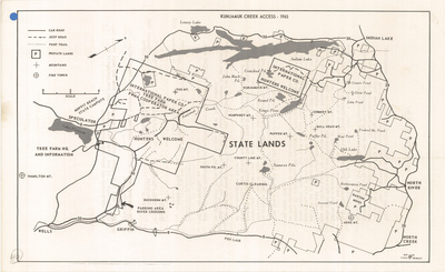
Description
Kunjamuk Creek Access Map. Recreation map, scale 1" = 2 mi. Albany, NY: State of New York Conservation Department, 1965. Print.
Physical Location
Map Case 0001 Drawer 0005 Folder 0002
Physical Description
14 x 8.5 inches.
Source
Union College Adirondack Research Library