


Historic Maps
Title
Preview
Date
1912
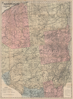
Description
Map of the Adirondacks. Topographic map, scale 1" = 4 mi. Glens Falls, NY: S.R. Stoddard, 1912. Print.
Physical Location
Map Case 0002 Drawer 0012 Folder 0001
Physical Description
26 x 35 inches.
Source
Union College Adirondack Research Library