


Historic Maps
Preview
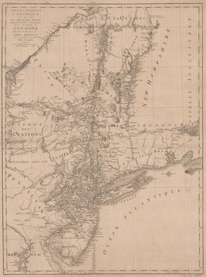
Date
1778
Description
Map of the Northeastern United States, published by Chez Le Rouge, Ingr. Geographe du Roi, Paris, France. Shows administrative and political divisions. Relief shown by hachures. Appears in Thomas Jefferys' Atlas ameriquain septentrional, 1778.
Physical Description
27 x 20 inches.
Source
Welch Collection (Private)