


Historic Maps
Preview
Date
2020
Description
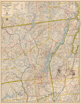
National Survey Company. Recreational Map of the Lake George Area and Warren County, NY. Topographic map, recreational map, scale 1" =2mi. Chester, VT: The National Survey Company, Print.
Physical Location
Map Case 0001 Drawer 0008 Folder 0004
Physical Description
18.5 x 24 inches.
Source
Union College Adirondack Research Library