


Historic Maps
Preview
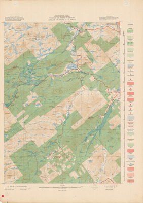
Date
1938
Description
USGS, State of New York. State of New York Executive Department Division of State Planning Atlas of Public Lands Sheet A41. Topographical map, scale 1:125,000. Albany, NY: State of New York Executive Department, 1937. Print.
Physical Location
Map Case 0002 Drawer 0016 Folder 0001
Physical Description
16 x 22 inches.
Source
Union College Adirondack Research Library