


Historic Maps
Title
Preview
Date
1953
Description
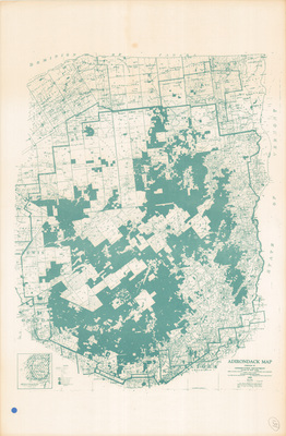
Adirondack Map. Land use map. Albany, NY: Conservation Department State of New York, 1953. Print.
Physical Location
Map Case 0002 Drawer 0011 Folder 0001
Physical Description
12.5 x 19 inches.
Source
Union College Adirondack Research Library