


Historic Maps
Preview
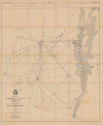
Date
1879
Description
Progress Sketch of the Primary Triangulation. Survey sketch, scale 1:126,720, from Colvin's Seventh Report. Albany, NY: New York Adirondack Survey, 1879. Print.
Physical Location
Map Case 0002 Drawer 0011 Folder 0004
Physical Description
32 x 39 inches.
Source
Union College Adirondack Research Library