


Historic Maps
Preview
Date
1970
Description
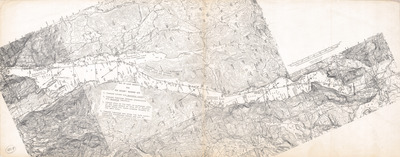
Map of Lake George for Roger’s Rangers Run. Topographic map with route of Rogers Ranger's Run (cross country ski race run from Howe's Landing to Ft. William Henry), 1" = 4 mi. Print.
Physical Location
Map Case 0001 Drawer 0008 Folder 0004
Physical Description
23 x 9 inches.
Source
Union College Adirondack Research Library