


Historic Maps
Preview
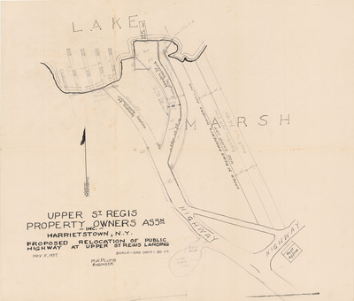
Date
1937
Description
Plumb, M.W. Upper St. Regis Property Owners Association Inc. Harrietstown, NY. Proposed Relocation of Public Highway at Upper St. Regis Landing. Development map, hand drawn, scale 1" = 30 ft. 1937. Blueprint.
Physical Location
Map Case 0001 Drawer 0009 Folder 0003
Physical Description
24 x 20 inches.
Source
Union College Adirondack Research Library