


Historic Maps
Preview
Date
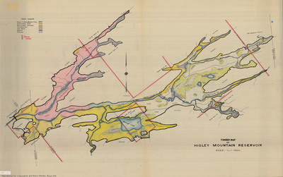
1942
Description
Timber Map of Higley Mountain Reservoir. Physical map, 1 in. = 1000 feet showing marsh, alders, beaver flow, softwood flat, softwood swamps, hardwoods, old burn, water, and plains, copy, 1942. Print.
Physical Location
Map Case 0002 Drawer 0015 Folder 0001
Physical Description
42 x 26.5 inches.
Source
Union College Adirondack Research Library